
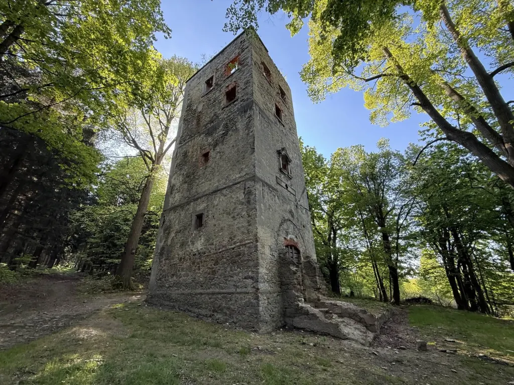
Gierałtówek · 535 m above sea level.
How to get to the tower
A green trail runs alongside the tower, leading from Lubań through Leśna and Pobiedna, and on via Smrek to Świeradów-Zdrój.
- Drive to the end of Hetmańska Street in Pobiedna.
- Park outside the Single Mother’s Home at 61 Hetmańska Street.
- Leave the tarmac and take the dirt track, then head south-east, following the green signposts.
- After about 400 metres, you’ll reach the tower.
Coordinates of the tower: 50.934449 N · 15.278005 E
Mapa
Interaktywna mapa wymaga JavaScriptu. Poniżej odnośnik do tego samego miejsca w OpenStreetMap.
- Wieża Mon Plaisir 50.934449 N · 15.278005 E
- Parking – ul. Hetmańska 61 50.936500 N · 15.274000 E
The map tiles are from OpenStreetMap. The green trail passes by the tower.
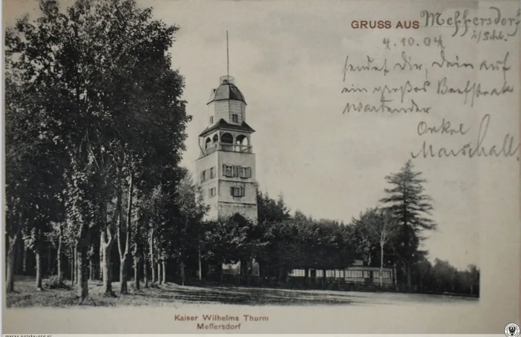
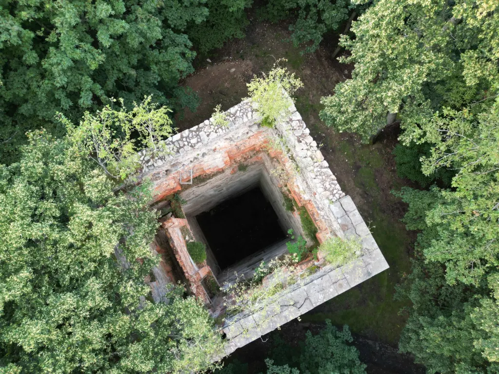
Safety
It’s still in ruins
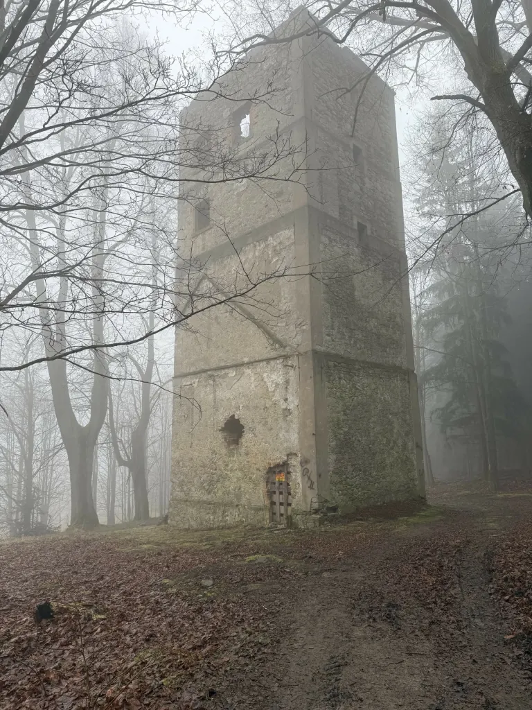
The walls are stable, but there are no stairs or ceilings. Do not go inside, and keep an eye on the children.
Events
Concerts and observations
We announce the season’s programme on our blog and on social media.
Groups
Guided tour
For schools and organised groups, we arrange on-site visits – please get in touch.